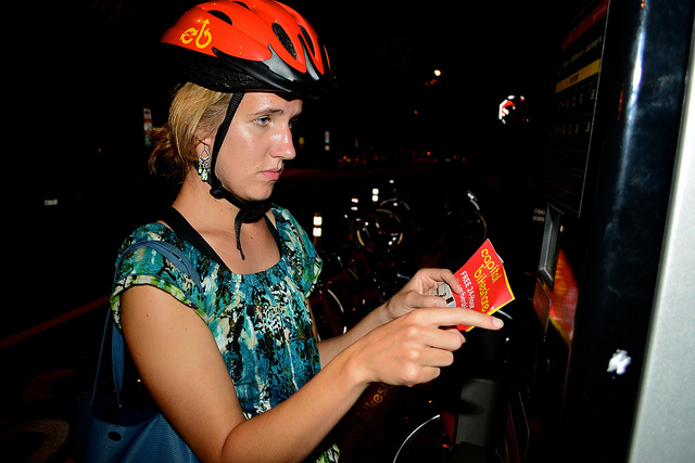
A new map – called the CaBi Range – should interest users of the Washington D.C. bikeshare system, Capital Bikeshare.
The map shows all the stations you can bike to in 30 minutes or less, highlighting those stations in green, as well as the routes you would take to get there. Stations beyond the time limit are shown in red.
You can adjust the time limit for shorter or longer trips. 30 minutes is the default since CaBi charges a fee for longer trips. The time limit can be embedded in the URL. For example, to show stations you can reach in 10 minutes from Georgetown University, at 37th & O NW: range.html?station=31236&min=10
The trip data for the distances, times, and routes came from the Google Maps API for biking directions. I queried Google for every possible station-to-station pair and stored it in a matrix. (That’s 248 times 247, or 61,256 combinations.) Having this matrix allows me to dig around for statistics. Here’s what I learned:
- The average speed is 16 kilometers per hour, or 10 miles per hour, but there is variety depending on the type of road, terrain and turns.
- The trip with the slowest speed is 19th & K St NW to 19th & L St NW, where riders travel at 1.9 mph, presumably because Google assumes they stop whenever turning or crossing a street. The stations are only a block apart, but the north-bound trip has to loop around to avoid the south-bound one-way street. The time for K St to L St is 2:41, but the reverse trip is 1:21.
- The trip with the fastest speed is in Adams Morgan, from 18th St & Wyoming Ave NW to California St & Florida Ave NW, where you travel at 18.6 MPH, presumably because it’s close and downhill. The trip’s time is 0:24, while the reverse trip is 1:14.
- The shortest trip between any CaBi stations (measured in time) is from 12th & G NW to 11th & F NW, which Google says should take 19 seconds.
- The longest trip between any CaBi stations is from Columbia Pike & S Dinwiddie St in Arlington to Connecticut & Nebraska NW, in 87 minutes.
- Measured in distance, the longest trip would be from Fessenden St & Wisconsin Ave NW to Benning Rd & East Capitol St NE, which is 25.2 km (15.6 miles) away (which takes 85 minutes).
- The most well-connected station is at the Lincoln Memorial, with 184 other CaBi stations that can be reached within 30 minutes.
 There are a few other items to note about the map. For one, you can select an origin station from the drop-down or by hovering over a station and clicking “select.” If you know the code for the station, you can put that in the URL, like range.html?station=31624 for Union Station or range.html?station=31258 for the Lincoln Memorial.
Also, to get the official turn-by-turn directions for your ride, follow the “directions” link when you hover over a station, which will take you to Google Maps.
Please play around with the CaBi Range map and see what you can discover. We’d love to hear your feedback – might this in fact change the way you view the region? What matters most to you when deciding how to use the CaBi system?
Photo by M.V. Jantzen
